On top of the Wold
Not so flat
I don’t think that there are a huge number of hills in Lincolnshire. According to the Marvelous Map of Great British Place Names, there is Nob hill, not too far from Poke Holes and Fanny Hands Lane. Unfortunately (for my childish brain), none of these are the highest point in Lincolnshire. Rather, it goes by the grand title of Normanby Le Wold Top (oooh, fancy!).
Some time ago during this hill running challenge, I had run up all of the hills that could realistically be reached from Cambridge (except Northamptonshire - the less said about that the better), without spending more time in the car than on the trails. That means we have to make a weekend out of most trips, which in a normal year wouldn’t be a problem. 2020 has been anything but a normal year. Nevertheless, we managed to secure a roof over our heads for a night in the Lincolnshire Wolds to avoid spending 4+ hours in the car for 90 minutes of running.
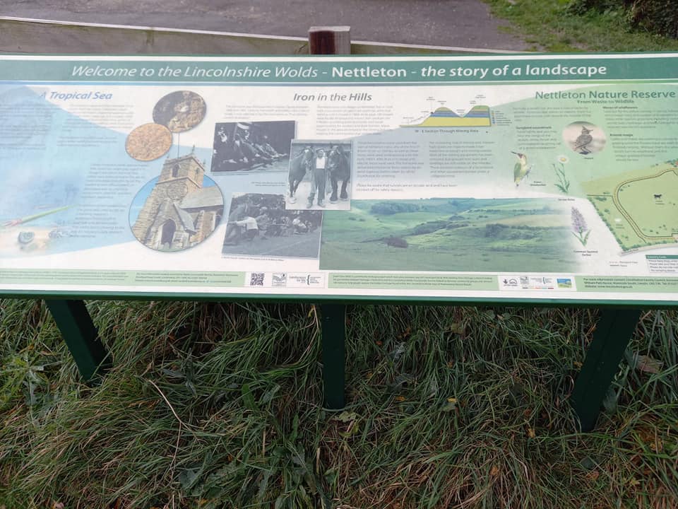
I’ve never been to the Lincolnshire Wolds before. I’ll be honest, I won’t be rushing to go back. It’s OK, but it’s not exactly the Alps. It’s nice, in that slightly flat (figuratively and literally) way, sort of like if beige was a county…there’s nothing intrinsically wrong with the place - it’s just not particularly inspiring.
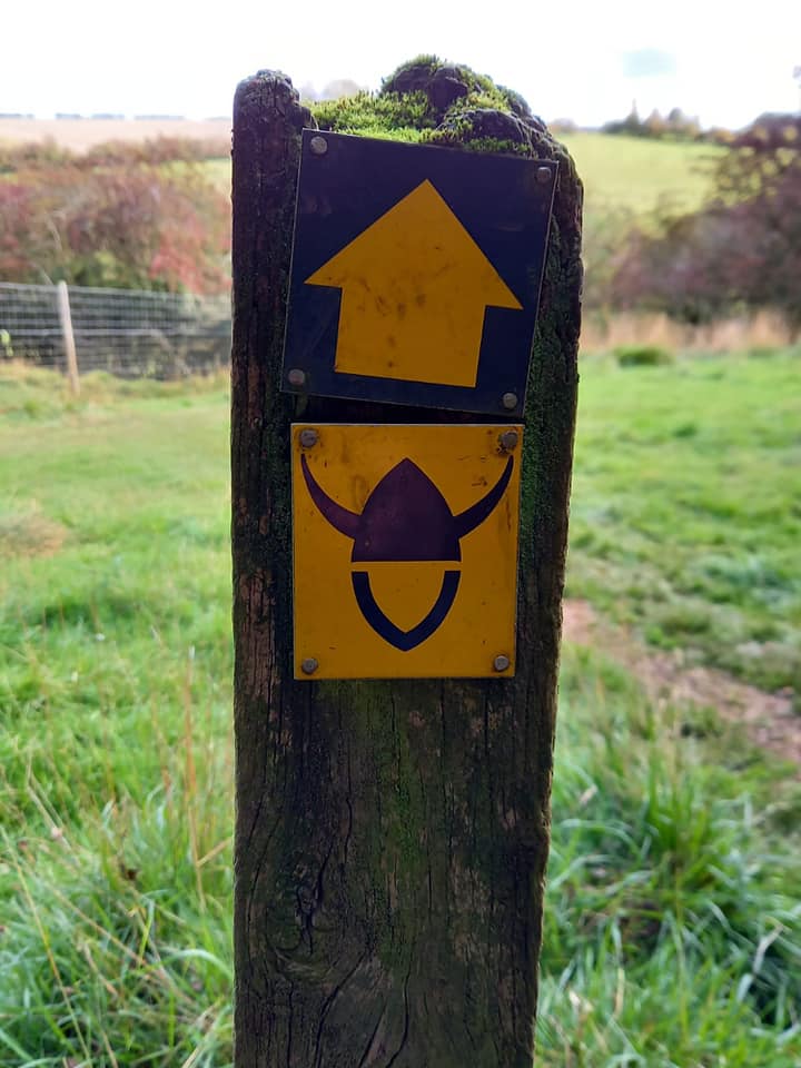
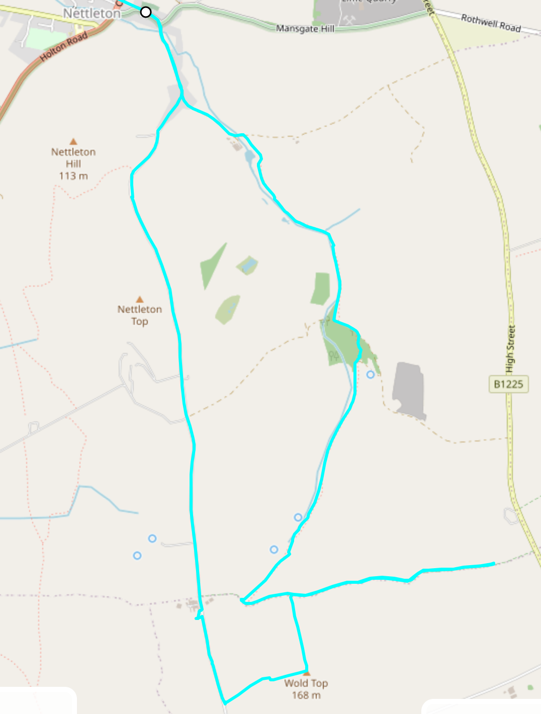
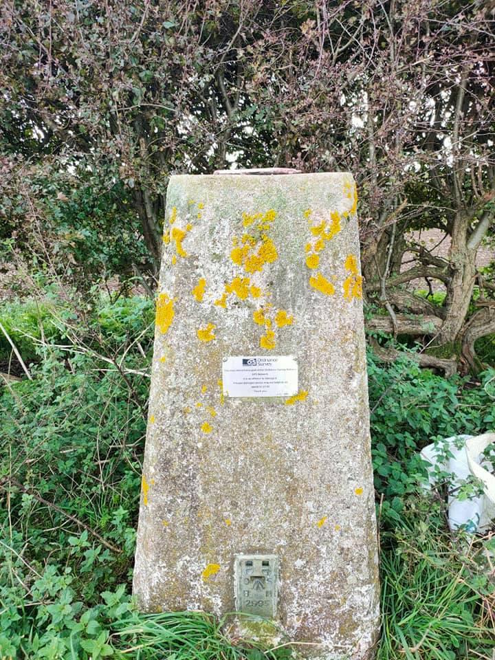
We planned our route from the little village of Nettleton (very quaint - the church is orange). Running up and over Nettleton top to reach the Wold Top (or Top of the Wold as we prefer to call it). Then back along the Viking Way (Argh!). It was a solid plan, the only snag being that Wold Top is not on publicly accessible land. I knew this would eventually happen; there have been some hill tops completely inaccessible as they are on private land, or in someone’s garden. This time however, I’d managed to find out who owned the field the hill summit was in, who fortuitously resided in a large (and very lovely) farm house just up the lane. There’s no particular twist to this tale. We ran the mile or two over Nettleton top to the farm at Acre house, I knocked on the door, and the owners kindly gave us permission to go to the trig point - they even gave us the best directions to get there. Some people are just kind - it warms the heart.
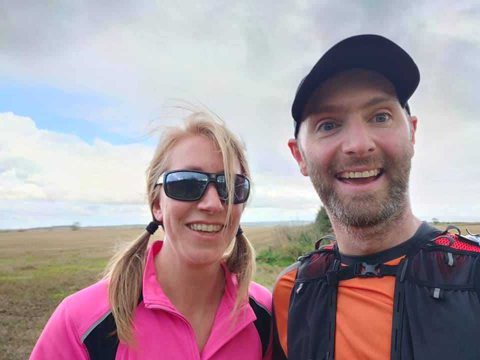
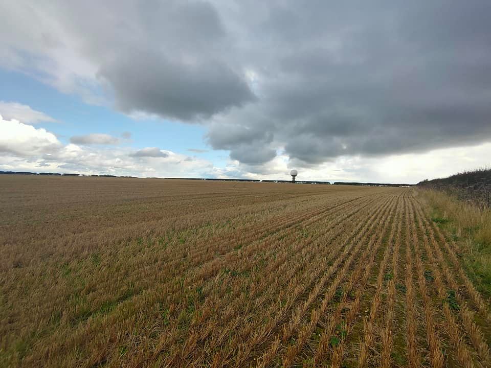
We cut across the field, hopping over a metal gate, and followed the farm owners directions to the trig point (overshadowed by a massive radar golf ball?!). There wasn’t much of a view from the “summit”, though without a trig point it would have been very hard to locate the highest point. We snapped the obligatory summit selfies, and made a beeline straight down the field edge to the footpath at the bottom. We did this run in October - which meant the wheat fields had long ago been harvested. Have you ever tried to run through a wheat field after it’s been harvested dear reader? It’s not a painful experience, it’s just weird. Try it, you’ll see what I mean.
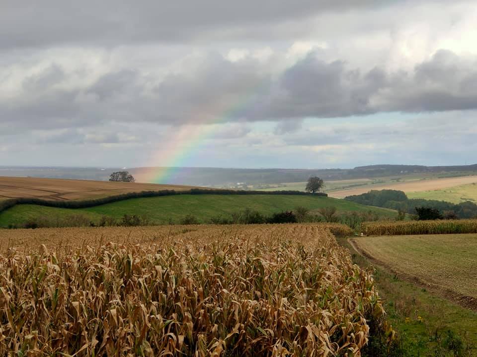
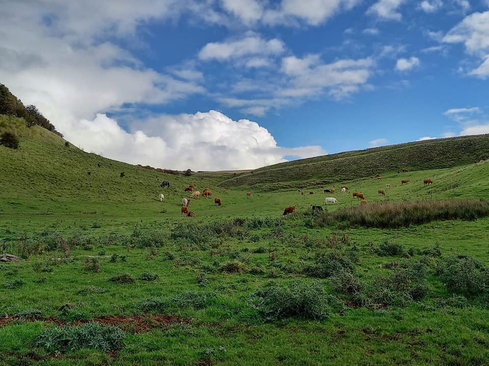
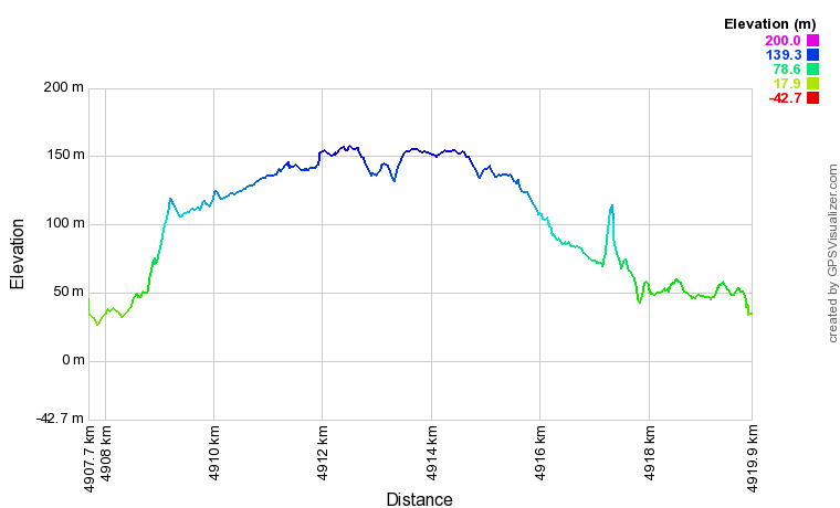
We hopped over a rickety old wooden gate on to the footpath (and much to Julie’s annoyance), headed off East to add an arbitrary 0.5km to the route. Anyone who knows me will tell you I can be anally retentive, bordering on obsessive compulsive, about some things. Sticky to the rules of this challenge is one of them, even if it means running around in circles to hit the 10km distance. So that’s what we did, right into the teeth of a biting cold wind up a (gentle but) constant gradient. Then we stopped and turnaround. Back we went (though we saw a beautiful rainbow) - towards black clouds and almost certainly a thorough drenching. We caught up with the Viking way, flanked by fields full of russet cows, and headed down hill into a grassy dell.
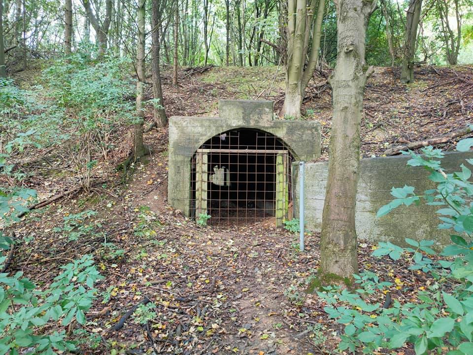
There had been some wet weather the few days before our arrival, so as usual we got rather muddy. Thankfully it didn’t compare to Leicestershire at the beginning of the year - nothing compares to the volume of mud we encountered there. The track took us past more cow fields, down and down we went to a small copse of trees, where we stumbled across some old mine shafts. The valley followed the path carved out by some old river, the remnants of which are now Nettleton Beck. We passed duck ponds, crept through a field of very large white cows, and eventually joined back up with our starting point outside the Nettleton church. We stretched out, searched for a bench, and had our picnic. All in all an enjoyable run; and no navigational issues (gasp!).
After some plumbing issues at our accommodation (no working toilet all night - grrr), we went for a walk from Market Rasen (pronounced raisin?), and headed back down the A1 to Cambridge.
Job done.
Share this post
Twitter
Google+
Facebook
Reddit
LinkedIn
StumbleUpon
Email